
Professional Real Estate Photography & Drone Media
High-Impact Property Media Built to Make Your Listings Stand Out
We provide professional listing photography, immersive virtual tours, and certified aerial drone video for real estate agents, commercial brokers, and land developers. Based in Cortland, we proudly serve communities across Trumbull County, Mahoning County, and Northeast Ohio.
FAA Part 107 Licensed & Commercially Insured
FAA Certificated for safe, legal, & compliant commercial drone flights. Commercially insured up to $2M; COI available upon request for commercial clients.
Trumbull & Mahoning Counties Core Coverage
Based in Cortland; Locally serving Warren, Youngstown, Canfield & Niles. Extended service to all of NE Ohio, including Cleveland, Akron, & Canton.
Reliable, Coordinated Service Delivery Deadlines
We work with you to schedule and deliver around your listing/marketing launch dates.
How Can We Help You Market Your Property?
Select your category path below to discover customized imaging, video, and drone plans crafted to showcase your listing.
Residential Assets
Residential Property Media
Market single-family houses, estates, condos, or vacant residential parcels. Win listing presentations and show prospective home buyers how a property truly flows.
Commercial Properties
Commercial & Land Media
Deliver spatial clarity to commercial brokers, corporate offices, and investment portfolios. Showcase active spaces, facilities, or sprawling developmental land.
Developed Residential Homes
Stunning interior/exterior real estate photography, smooth video walkthroughs, approximate floorplan layouts/schematics, and high-fidelity Zillow 3D Home virtual tours.
Residential Vacant Land & Lots
Give buyers absolute geographic context of land site-lines and seasonal views with professional, high-resolution aerial drone photography and elevation captures..
Developed Buildings & Retail Facilities
Highlight structural scale, tenant context, and physical layout assets with smooth walkthrough cinematic recordings, interior views, and interactive virtual walkthrough spaces.
Undeveloped Land & Large Acreage
Detail broad developmental scale, major regional highway approaches, and landscape attributes with certified, high-altitude commercial drone panoramas and progress checks.
How We Deliver Your Property Media
We understand that time is of the essence in real estate. Our three-step process is simple, secure, and built to keep you in control of your listing timeline.
1. Secure Booking Deposit
Lock in your scheduled shoot date [ 1 ] on our calendar with a standard 50% upfront deposit. This reserves our dedicated time for your property.
2. Private Draft Proofing
Once editing is finished, we'll send you a Google Drive link to a set of watermarked proofs. You'll be able to review your images & request any necessary changes before final billing is settled.
3. Google Drive Access
As soon as final payment is processed, we instantly upload your high-resolution, un-watermarked files to a secure Google Drive folder. You can download and post them to your MLS listing immediately.
Common Questions About Our Property Media
Everything you need to know about our scheduling, delivery, and certified operations.
What is your overall booking, payment, and delivery process?
We operate on a straightforward three-step collaborative flow:
- Secure Your Date: We require a 50% upfront deposit to officially lock in your photo shoot on our calendar. Important note: While we strive to complete your job on the date/time requested, aerial photography/videography missions are subject to strict FAA regulations, and as such, may need to be rescheduled for another date/time, subject to changing aviation safety, weather, or other conditions. If such a situation occurs, we will advise on next steps.
- Review Your Proofs: After editing, we share a Google Drive link for you to download, review, and approve a set of watermarked proofs.
- Final secure download: Upon receipt of the final balance payment, we immediately release high-resolution, un-watermarked files directly to you via Google Drive.
How quickly will I receive the finished media files?
Your listing timeline is incredibly valuable, and we strive to turn your media around as quickly as possible without sacrificing quality. Because we handle our detailed photo editing, processing, and video stitching during dedicated evening and weekend hours, we will work closely with you to align with your listing target dates.
Still photography, Zillow 3D Home tours, and floorplans are typically processed and delivered first, while custom video walkthroughs and manual 360-degree tours are scheduled on a case-by-case basis. We recommend reaching out as early as possible to secure your target date.
How do you handle FAA airspace clearances and drone waivers?
We are fully certified FAA Part 107 Commercial Remote Pilots and carry a $2M commercial general liability insurance policy.
If your listing is in controlled airspace, near an airport, or other restricted airspace, we handle all coordination with the FAA.
While standard airspace approvals can be secured almost instantly through LAANC, complex areas (such as strict 0-foot altitude grids or airports without automated authorization) require manual FAA waivers. These custom applications can take up to 90 days. We run a free airspace safety assessment on your property's address the moment you inquire, letting you plan safely. If any issues arise, we will let you know as soon as possible.
In all cases, this is another reason to secure your shoot as far in advance as possible.
Do you know the media requirements of my MLS?
We are familiar with the general guidelines and industry standards used by many MLS's, and work to adhere to strict ethical guidelines regarding showing a property in it's true condition.
That said, as we work mainly in Northeast Ohio, we are very familiar with the requirements for MLS Now, which can be found here:
https://support.mlsnow.com/hc/en-us/articles/24915189546907-Listing-Photo-Rules-and-Requirements
If you are a member of a different state or regional MLS that has different guidelines, please be sure to send us any appropriate documentation so that we can make sure your media complies with their requirements.
Recent Articles on Real Estate Topics
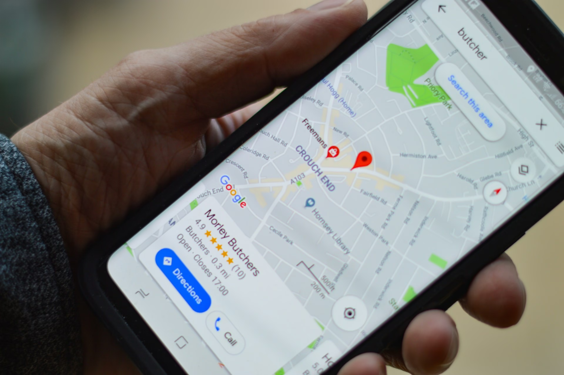
Expanding Our Horizons: Introducing 360° Google Street View Tours
From the sky to the street, Strategic Air Captures is growing to meet the visual marketing needs of Northeastern Ohio. At Strategic Air Captures, we built our reputation by providing breathtaking, high-precision aerial perspectives. Whether it is visually inspecting...
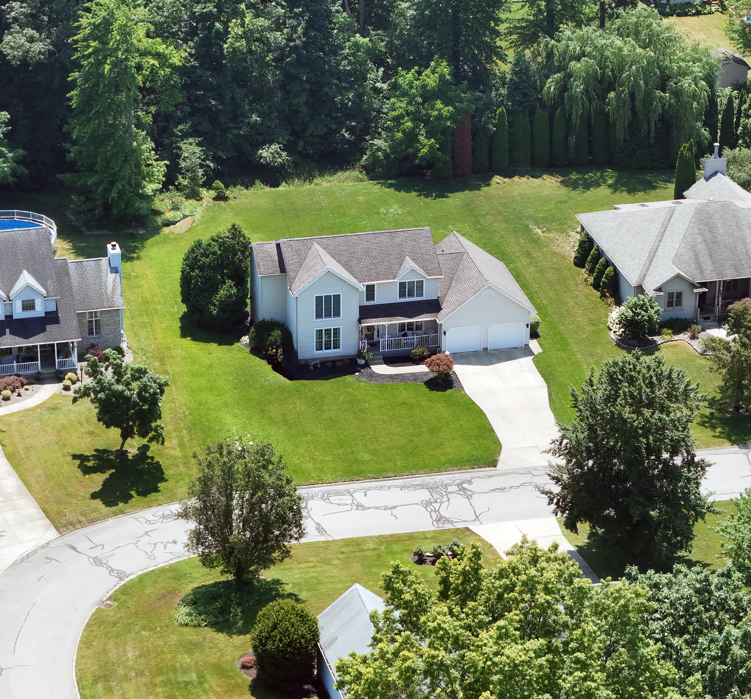
Beyond the Curb Appeal: 5 Ways Drone Photography Sells Ohio Real Estate Faster
In today's competitive real estate market, standard photos are no longer enough. Every agent and seller in Northeast Ohio is using high-quality ground-level shots, making it harder than ever for a listing to truly stand out. So, how do you stop potential buyers from...

Beyond the Snapshot: How Aerial Photography Elevates Your Real Estate Listings and Sells Homes Faster
In today's fiercely competitive real estate market, just putting a "For Sale" sign in the yard and snapping a few ground-level photos simply isn't enough. Your listings are blending in, and potential buyers are scrolling right past. What if you could make every...